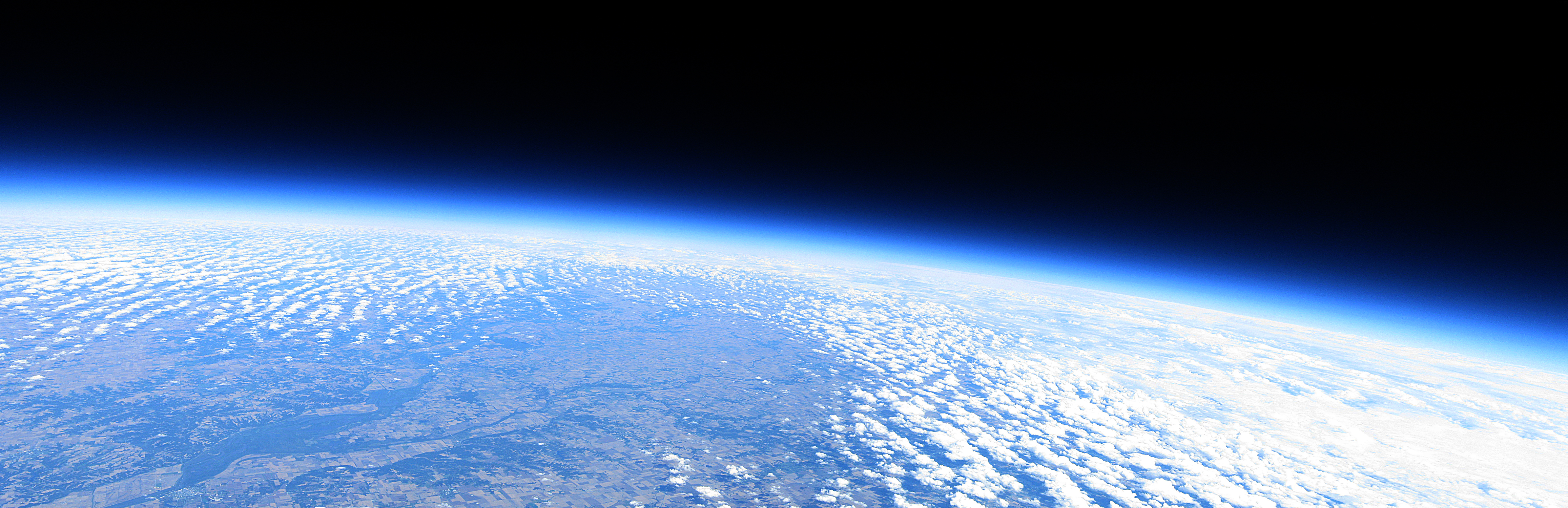
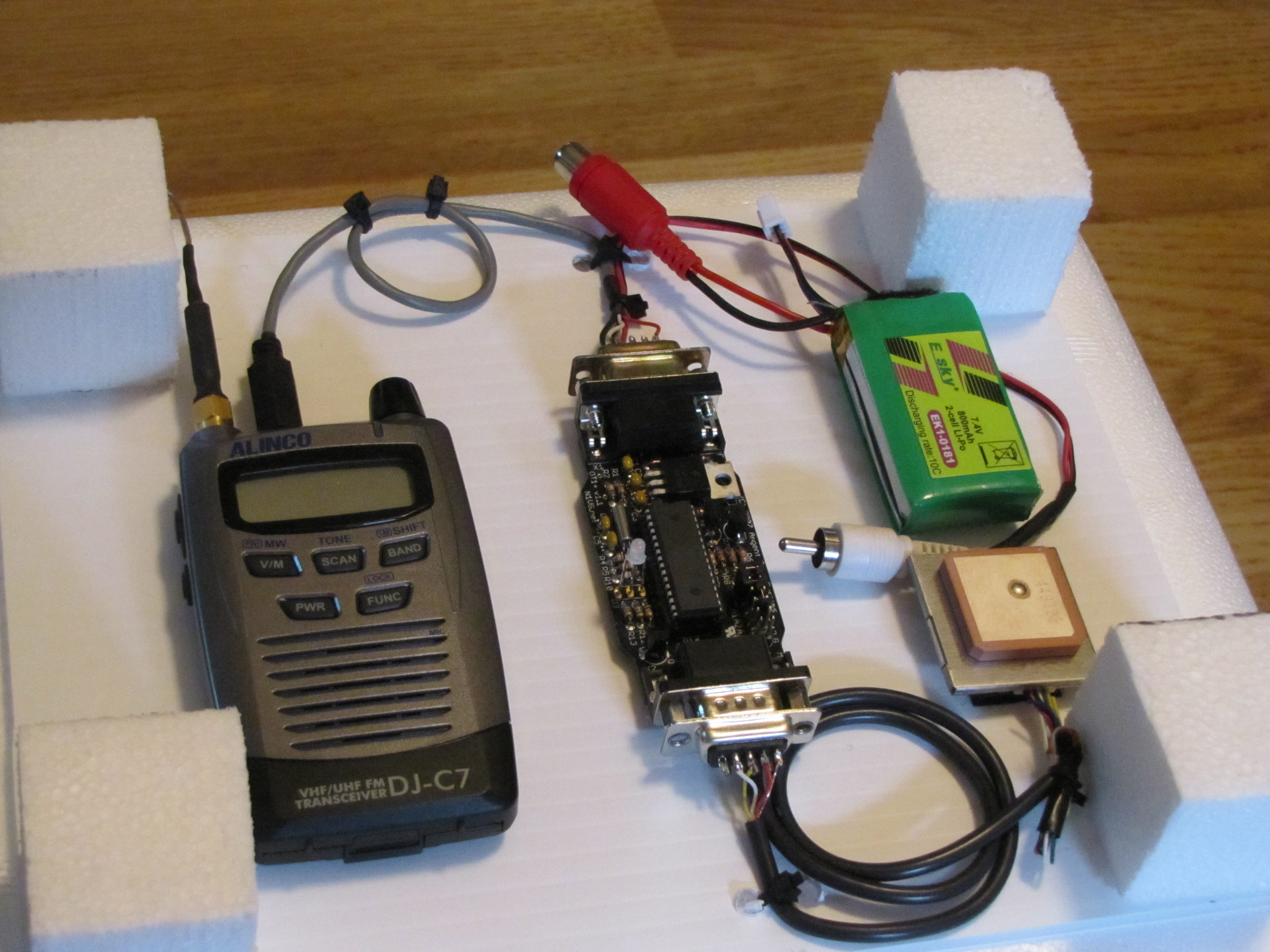
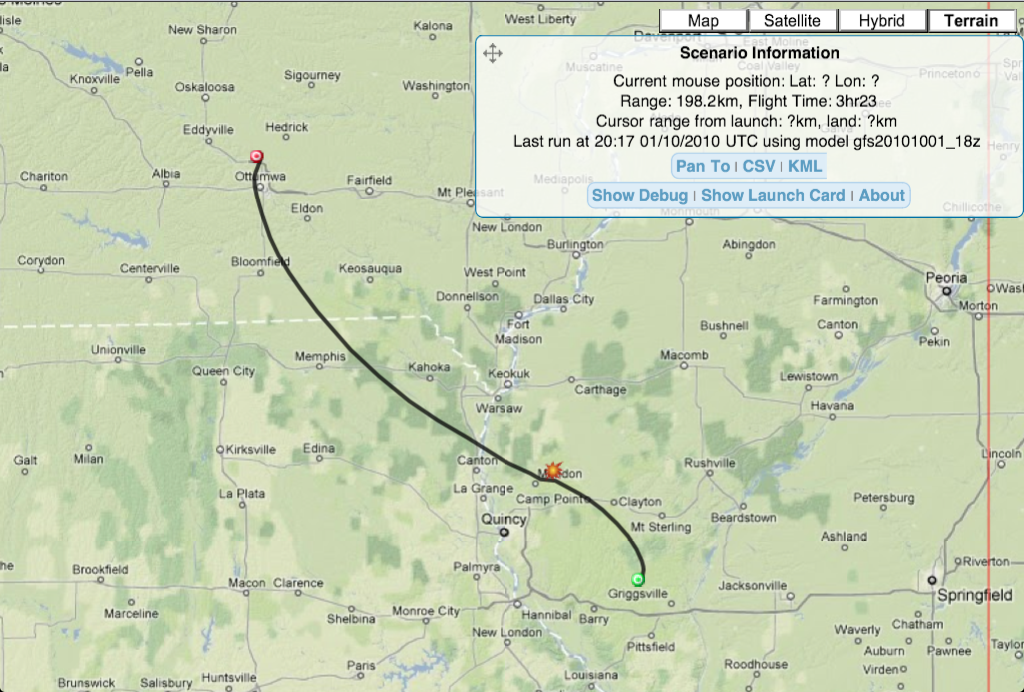
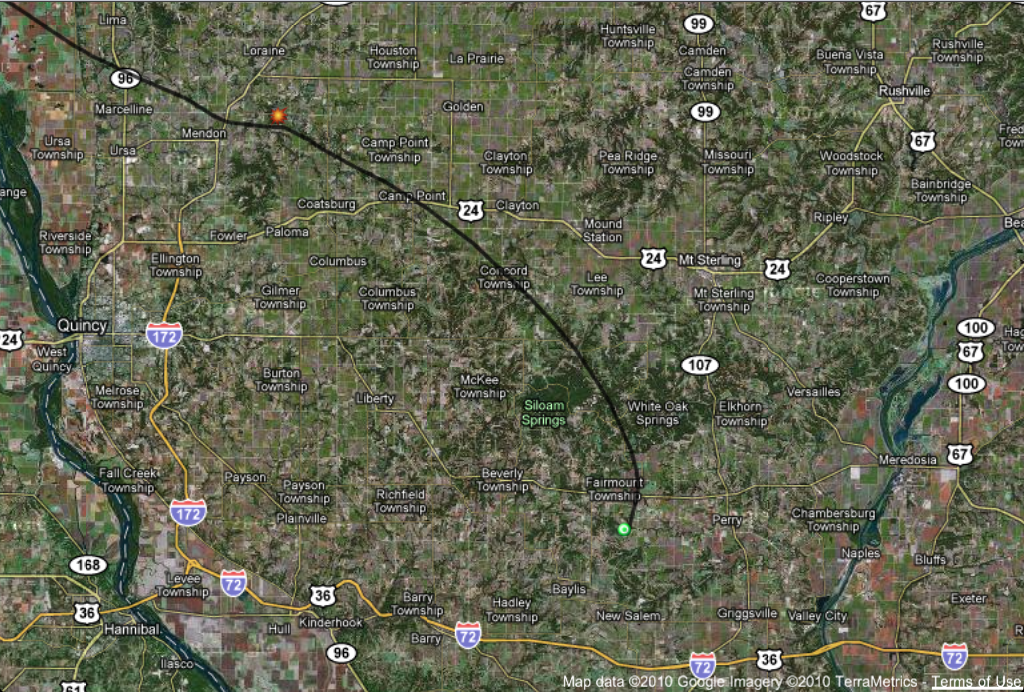
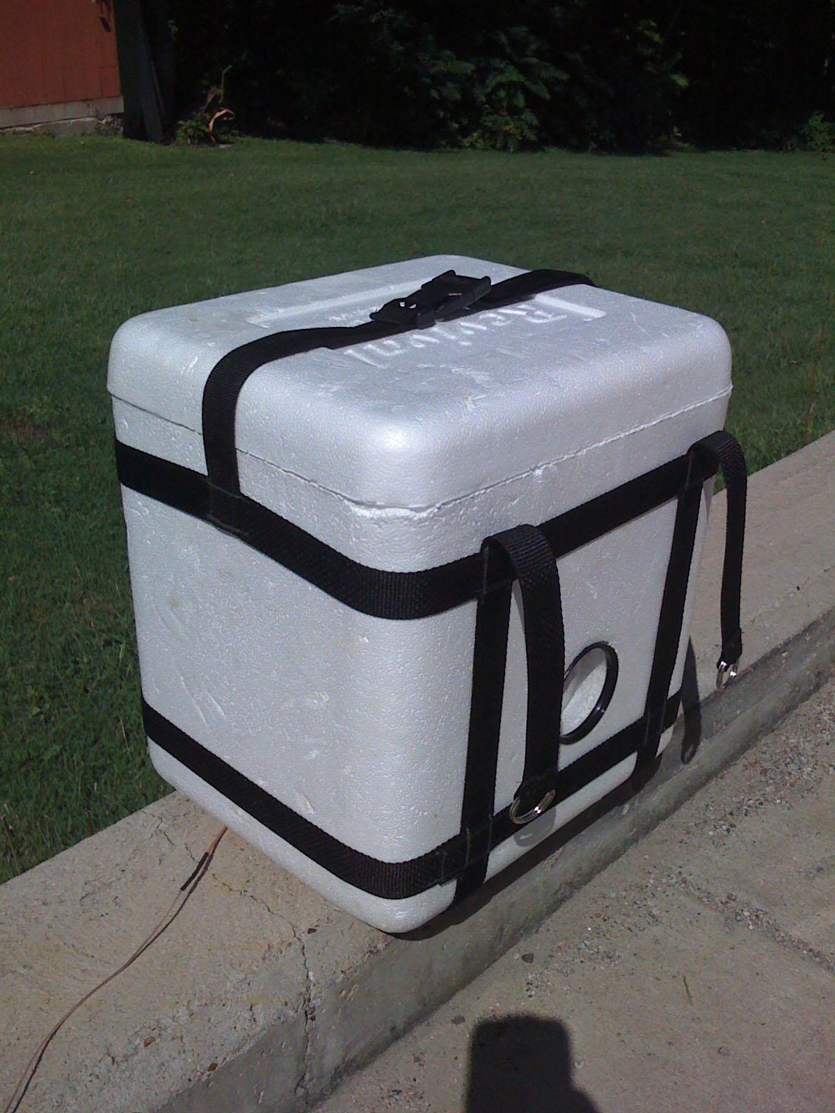
iHAB-2 - [Saturday - October 2, 2010]

From onboard camera at apex of 87,100ft
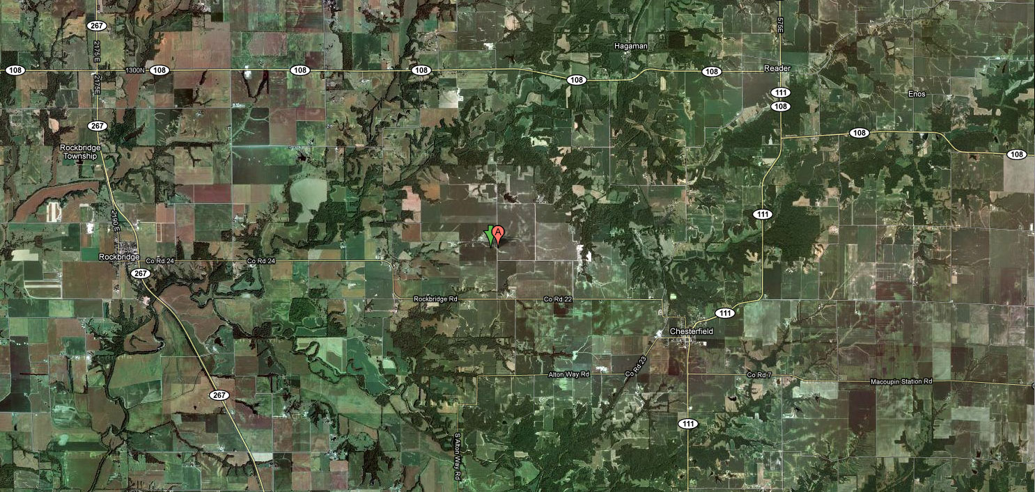
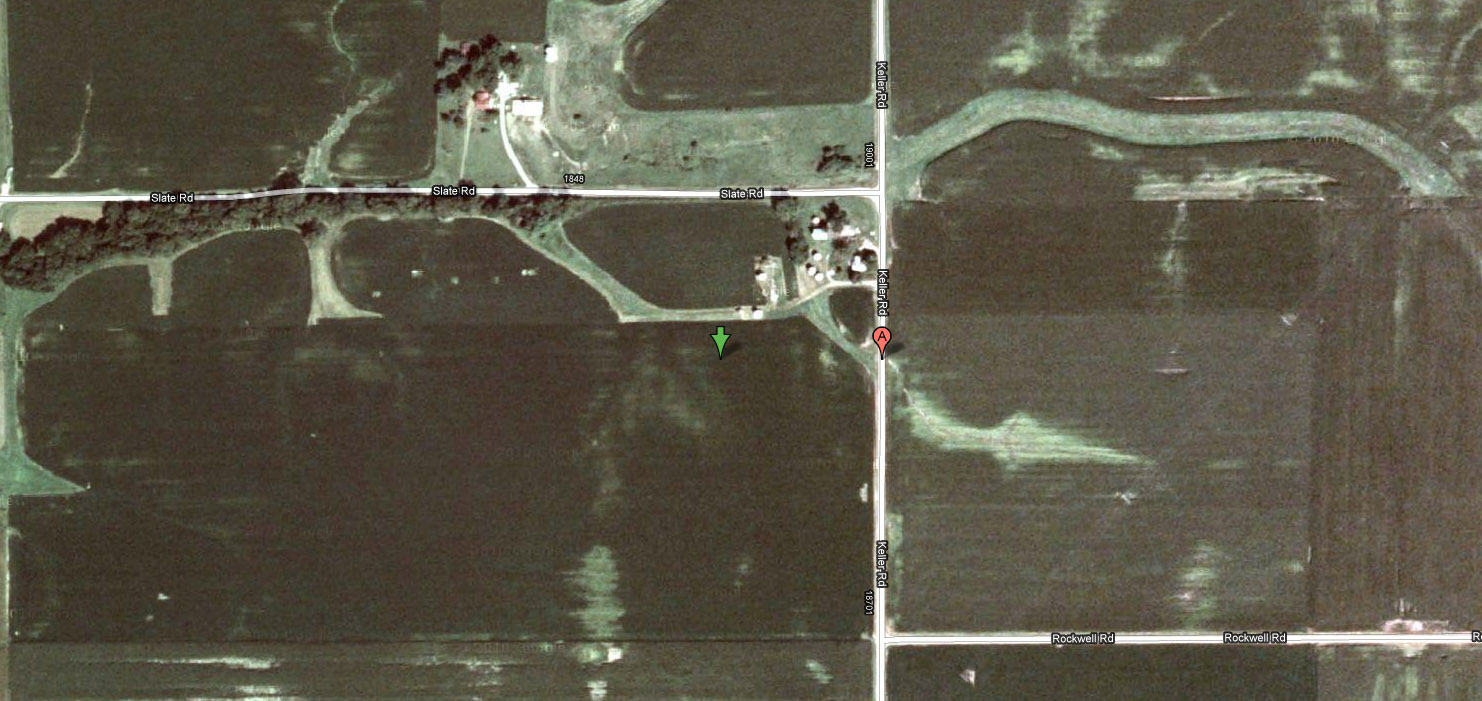
iHAB 2 - Flight Recap
Recovery was successful!
Burst Altitude: 87,100ft
Flight Duration: 4hr21min
Landed east of Rockbridge, IL
39.271555 N, 90.112749 W
39° 16' 17.60" , -90° 6' 45.90"


